Latest Products
view all products
Smart AdressBook
$5.99
This software allow to manage your contacts on a map, possibility to have aerial satellite map, road map. You can show all market around you. You can create and manage your contacts and see their location. Find any location on the map and all market around. You have a private and secure access to yours personal datas with a private connexion or by Google account authentication. Select you type of contact : doctor, mechanics, friend or colleague and after search the location and create a pin for your new contact.

Cartography GIS Viewer
$3.99
This software is an application to create your configuration for display cartography, display layer of map. By default, you have a Bing Map or OpenStreetMap and you can configure your WMS address server and you Layer name. You can verify and display your layer of Map, this applications of GIS Geographic Information System is very easy to configure. This application can be use in complement of other application like QGIS Desktop or Lizmap.

My Cartography
$3.99
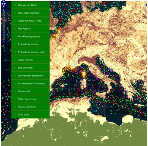
This application allows you to introduce you to cartography and geomatics through the overlay of maps. These maps are based on biodiversity, agriculture, forests, maps on the global ecological situation such as water quality, maps on the effect of climate, but also on the sea and the oceans. The data comes from reliable sources such as European and American international organizations. Compass integrate.

Astronomia
$4.99
Astronomia provide the access to images of satellite like Landsat 8, APod and EPIC, you are the possibility to retrieve the real images of the earth, the galaxy. You can search a location on the Apple map and when tap touch your screen then you retrieve the location with Latitude and Longitude and an image is display of Landsat 8. For APod, you retrieve the image of the space of the day provide by International spatial agency. For EPIC, you can search the real image of the Earth for a specific date. All images are not rearrange, you retrieve all naturals images of the earth and the space. You are the possibility to download in your Pictures folder the satellite image. All source of datas and images are provide by OpenData and Open API for public audience.

Smart AdressBook for Android
Free
This software allow to manage your contacts on a map, possibility to have aerial satellite map, road map. You can show all market around you. You can create and manage your contacts and see their location. Find any location on the map and all market around. You have a private and secure access to yours personal datas with a private connexion or by Google account authentication. Select you type of contact : doctor, mechanics, friend or colleague and after search the location and create a pin for your new contact.

